Data as added value
Nowadays, farmers are already collecting a lot of data from their fields. Unfortunately, they often still lack effective decision support tools to make the most of this data so that they can add value to their farming business. Two years ago, the Soil Service of Belgium and VITO Remote Sensing joined forces as a part of the PPIDD demonstration project ('Zone-specific field management through digital data layer integration') and now the WatchITgrow platform is further expanded with numerous new data and tools.
New data and tools
In addition to the satellite images and weather data, you can now also:
- consult the soil type, elevation map, erosion sensitivity or MAP6 area type for your fields
- consult the latest soil fertility map from the Soil Service
In addition, you can also easily add your own data to WatchITgrow such as:
- analysis reports
- soil scan data
- photos of your fields
- drone images (via MapEO)
You can then compare these data with the satellite images or the soil map. So you can keep all the information of your field in one central place and consult it from there.

Requests for soil analyses
In addition, it is now possible to request soil analyses from the Soil Service via WatchITgrow. As a grower, you can use the satellite images to check the variation in your fields and then indicate in which zone you want soil samples to be taken. After analysis, the results are automatically linked to your field in WatchITgrow. The results of the soil analysis may be useful in explaining the observed variation or varying the fertilization by zone.

Application & yield potential maps
Finally, the application maps for variable rate irrigation and fertilization were further optimized and work was done on 'yield potential maps' which show you the spots in your field where the crop did well or less well in the past seasons.
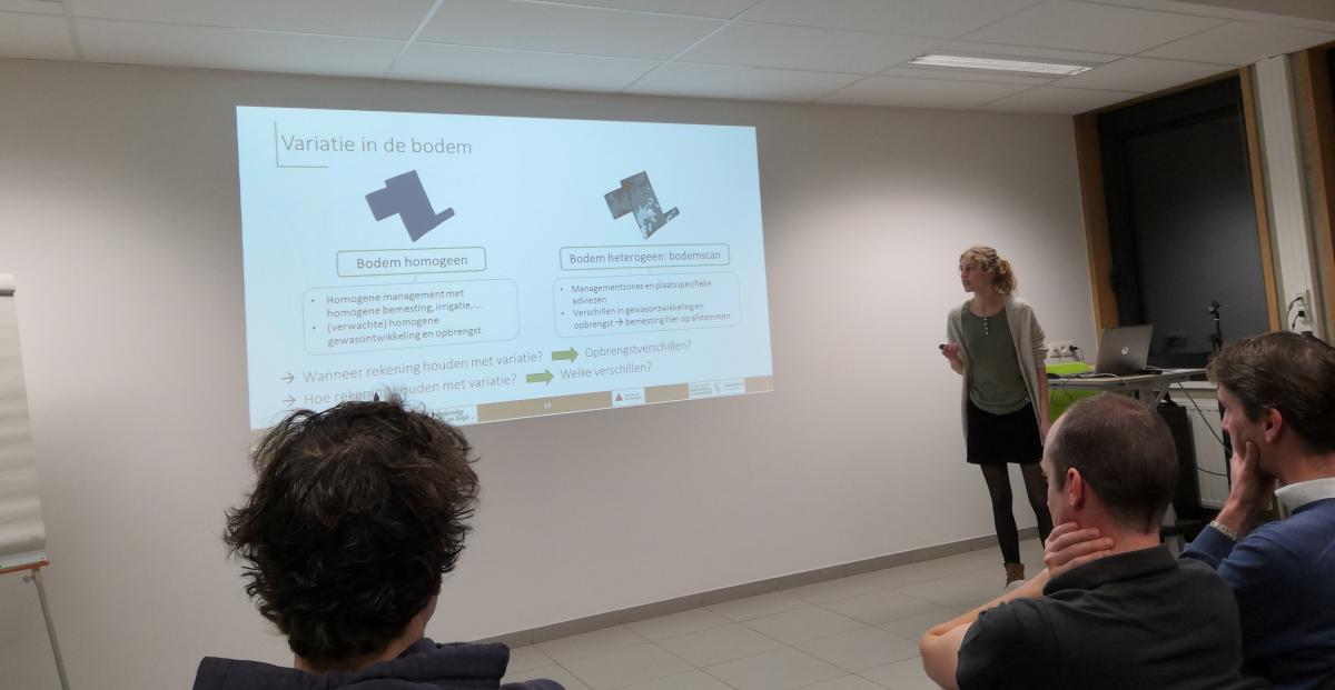
Informing and digitising
The PPIDD project also paid due attention to informing farmers during study evenings at various locations. On these study evenings, the possibilities of the platform and the added value of the new data and tools for making the right decisions for optimal and sustainable field management, were extensively demonstrated and explained.
By showing the possibilities of the free and independent WatchITgrow platform, the PPIDD project also aims to lower the threshold for farmers to use new digital technologies and stimulate the evolution towards precision agriculture.
Thanks to
The PPIDD project was made possible by the Department of Agriculture and Fisheries of the Flemish Govenment with support from the European Agricultural Fund for Rural Development (EAFRD).